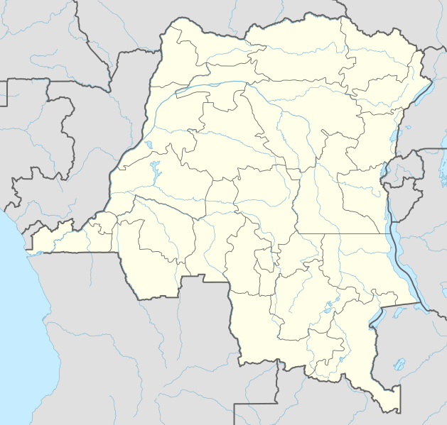
Archivo:Democratic Republic of the Congo adm location map.svg

Ver la imagen en su resolución original ((Imagen SVG, nominalmente 1240 × 1181 pixels, tamaño de archivo: 732 kB))
Resumen
| Descripción |
Deutsch: Positionskarte der Demokratischen Republik Kongo
English: Location map of the Democratic Republic of the Congo
|
||||||||||||
| Fecha | |||||||||||||
| Fuente |
Trabajo propio utilizando:
|
||||||||||||
| Autor | NordNordWest | ||||||||||||

|
Este mapa se ha hecho o mejorado en el Kartenwerkstatt (taller cartográfico) alemán. También puede proponer mapas para mejorar.
|
Licencia
Usage of this file with:

explanatory notes: Legally binding is only the full legalcode. For a free usage I recommend to respect the following licence conditions:
1. Provide my name as given above: NordNordWest,
2. a copy of, or the URI for, the applicable license: https://creativecommons.org/licenses/by-sa/3.0/de/legalcode,
3. the title of the work,
4. in the case of an adaptation, a credit identifying the use of the work in the adaptation.
This license and the rights granted hereunder will terminate automatically upon any breach by you of the terms of this license. Any of the above conditions can be waived if you get permission from the copyright holder. If you have questions or wish differing conditions, please contact me through nnwest or my discussion page ![]() t-online.de
t-online.de
- Eres libre:
- de compartir – de copiar, distribuir y transmitir el trabajo
- de remezclar – de adaptar el trabajo
- Bajo las siguientes condiciones:
- atribución – Debes otorgar el crédito correspondiente, proporcionar un enlace a la licencia e indicar si realizaste algún cambio. Puedes hacerlo de cualquier manera razonable pero no de manera que sugiera que el licenciante te respalda a ti o al uso que hagas del trabajo.
- compartir igual – En caso de mezclar, transformar o modificar este trabajo, deberás distribuir el trabajo resultante bajo la misma licencia o una compatible como el original.

Historial del archivo
Haz clic sobre una fecha y hora para ver el archivo tal como apareció en ese momento.
| Fecha y hora | Miniatura | Dimensiones | Usuario | Comentario | |
|---|---|---|---|---|---|
| actual | 01:51 15 nov 2022 | | 1240 × 1181 (732 kB) | SyntaxTerror | sorted in layers |
| 08:51 16 feb 2016 |  | 1240 × 1181 (692 kB) | NordNordWest | corr | |
| 18:25 15 feb 2016 |  | 1240 × 1181 (691 kB) | NordNordWest | == {{int:filedesc}} == {{Information |Description= {{de|1=Positionskarte der Demokratischen Republik Kongo}} {{en|1=Location map of the Democratic Republic of the Congo}} {{Location map series N |stretching=100 |top=6 |bottom=-14 |left=11 |right=32 }}... |
Usos del archivo
Las siguientes páginas usan este archivo:
- Aeropuerto Internacional de N'Djili
- Aeropuerto de Bandundu
- Aeropuerto de Bangoka
- Aeropuerto de Gemena
- Aeropuerto de Goma
- Aeropuerto de Lubumbashi
- Asedio de Jadotville
- Batalla del lago Tanganica
- Bolobo
- Boma
- Bukavu
- Bunia
- Butembo
- Catedral de Nuestra Señora de la Asunción (Boma)
- Catedral de Nuestra Señora de la Paz (Bukavu)
- Catedral de Nuestra Señora del Congo (Kinsasa)
- Catedral de Nuestra Señora del Rosario (Kisangani)
- Catedral de San Pedro y San Pablo (Lubumbashi)
- Catedral de los Santos Pedro y Pablo (Basankusu)
- Doruma
- Fort de Shinkakasa
- Gbadolite
- Goma (ciudad)
- Gran Hotel de Kinsasa
- Hotel Memling
- Ibambi
- Ilebo
- Inongo
- Isiro
- Kabinda
- Kalemie
- Kananga
- Kaniama
- Katako-Kombe
- Kenge
- Kibombo
- Kikwit
- Kindu
- Kinsasa
- Kisangani
- Kitona
- Kolwezi
- La Gombe (Kinsasa)
- Likasi
- Lisala
- Lubefu
- Lubumbashi
- Luebo
- Lusanga
- Matadi
- Mbandaka
- Mbanza-Ngungu
- Mbuji-Mayi
- Minova
- Moanda (República Democrática del Congo)
- Mwene-Ditu
- Nyangwe
- Oshwe
- Rebelión Batetela
- Sake (Republica Democrática del Congo)
- Supercopa de la CAF 2010
- Supercopa de la CAF 2011
- Supercopa de la CAF 2016
- Tshela
- Uvira
- Yambuya
- Plantilla:Mapa de localización de República Democrática del Congo
- Anexo:Patrimonio de la Humanidad en la República Democrática del Congo
Uso global del archivo
Las wikis siguientes utilizan este archivo:
- Uso en ab.wikipedia.org
- Uso en af.wikipedia.org
- Uso en an.wikipedia.org
- Uso en ast.wikipedia.org
- Uso en azb.wikipedia.org
- Uso en bn.wikipedia.org
Ver más uso global de este archivo.