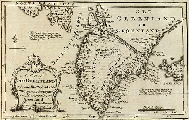
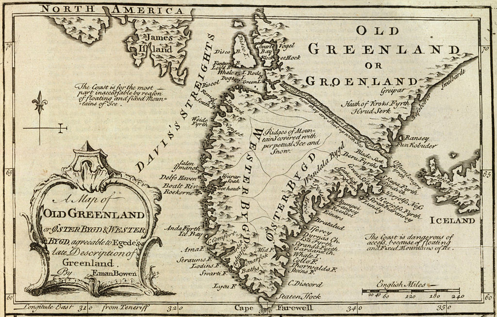
Archivo:Old Greenland 1747.jpg

Ver la imagen en su resolución original (2048 × 1307 píxeles; tamaño de archivo: 2,23 MB; tipo MIME: image/jpeg)
Resumen
| Descripción |
English: Cropped and rotated from the original.
|
| Fecha | |
| Fuente | David Rumsey Collection |
| Autor | Emanuel Bowen (c. 1694–1767) |
Licencia
|
Esta es una reproducción fotográfica fiel de una obra de arte bidimensional de dominio público. La obra de arte misma se halla en el dominio público por el motivo siguiente:
La postura oficial de la Fundación Wikimedia considera que «las reproducciones fieles de obras de arte bidimensionales de dominio público forman parte del dominio público».
Esta reproducción fotográfica, por ende, también se considera de dominio público dentro de los Estados Unidos. Es posible que otras jurisdicciones restrinjan la reutilización de este contenido; consúltese Reutilización de fotografías PD-Art (en inglés) para más detalles. | ||||
Historial del archivo
Haz clic sobre una fecha y hora para ver el archivo tal como apareció en ese momento.
| Fecha y hora | Miniatura | Dimensiones | Usuario | Comentario | |
|---|---|---|---|---|---|
| actual | 15:21 10 may 2012 | | 2048 × 1307 (2,23 MB) | LlywelynII |
Usos del archivo
La siguiente página usa este archivo:
Uso global del archivo
Las wikis siguientes utilizan este archivo:
- Uso en af.wikipedia.org
- Uso en ar.wikipedia.org
- Uso en bs.wikipedia.org
- Uso en ca.wikipedia.org
- Uso en ceb.wikipedia.org
- Uso en cs.wikipedia.org
- Uso en en.wikipedia.org
- Uso en fa.wikipedia.org
- Uso en fy.wikipedia.org
- Uso en io.wikipedia.org
- Uso en ko.wikipedia.org
- Uso en pt.wikipedia.org
- Uso en sv.wikipedia.org
- Uso en te.wikipedia.org
- Uso en tr.wikipedia.org
- Uso en uk.wikipedia.org
- Uso en www.wikidata.org
- Uso en zh.wikipedia.org