Archivo:Austria Carinthia relief location map.svg

Ver la imagen en su resolución original ((Imagen SVG, nominalmente 1342 × 792 pixels, tamaño de archivo: 2,37 MB))
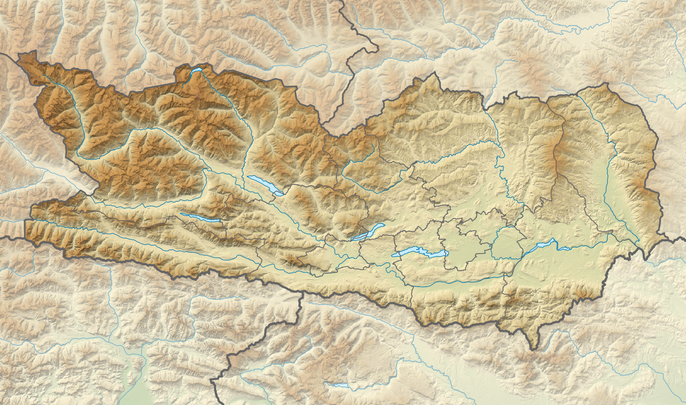
Resumen
| Descripción |
Deutsch: Positionskarte von Kärnten, Österreich.
Quadratische Plattkarte. Geographische Begrenzung der Karte:
English: Location map of Carinthia, Austria.
Equirectangular projection. Geographic limits of the map:
|
| Fecha | |
| Fuente |
Trabajo propio, using
|
| Autor | NordNordWest |
| Otras versiones |
|


|
Este mapa se ha hecho o mejorado en el Kartenwerkstatt (taller cartográfico) alemán. También puede proponer mapas para mejorar.
|
Licencia
Usage of this file with:

explanatory notes: Legally binding is only the full legalcode. For a free usage I recommend to respect the following licence conditions:
1. Provide my name as given above: NordNordWest,
2. a copy of, or the URI for, the applicable license: https://creativecommons.org/licenses/by-sa/3.0/de/legalcode,
3. the title of the work,
4. in the case of an adaptation, a credit identifying the use of the work in the adaptation.
This license and the rights granted hereunder will terminate automatically upon any breach by you of the terms of this license. Any of the above conditions can be waived if you get permission from the copyright holder. If you have questions or wish differing conditions, please contact me through nnwest or my discussion page ![]() t-online.de
t-online.de
- Eres libre:
- de compartir – de copiar, distribuir y transmitir el trabajo
- de remezclar – de adaptar el trabajo
- Bajo las siguientes condiciones:
- atribución – Debes otorgar el crédito correspondiente, proporcionar un enlace a la licencia e indicar si realizaste algún cambio. Puedes hacerlo de cualquier manera razonable pero no de manera que sugiera que el licenciante te respalda a ti o al uso que hagas del trabajo.
- compartir igual – En caso de mezclar, transformar o modificar este trabajo, deberás distribuir el trabajo resultante bajo la misma licencia o una compatible como el original.

Historial del archivo
Haz clic sobre una fecha y hora para ver el archivo tal como apareció en ese momento.
| Fecha y hora | Miniatura | Dimensiones | Usuario | Comentario | |
|---|---|---|---|---|---|
| actual | 17:32 6 oct 2013 | | 1342 × 792 (2,37 MB) | NordNordWest | corr |
| 16:53 6 oct 2013 |  | 1342 × 792 (2,37 MB) | NordNordWest | == {{int:filedesc}} == {{Information |Description= {{de|1=Positionskarte von Kärnten, Österreich. Quadratische Plattkarte. Geographische Begrenzung der Karte: * N: 47.260053° N * S: 46.232250° N * W: 12.592633° O * O: 15.135427° ... |
Usos del archivo
Las siguientes páginas usan este archivo:
Uso global del archivo
Las wikis siguientes utilizan este archivo:
- Uso en ca.wikipedia.org
- Uso en de.wikipedia.org
- Wörthersee
- Gailtal
- Magdalensberg (Berg)
- Faaker See
- Säuleck
- Ankogel
- Wolayerseehütte
- Katschtal (Kärnten)
- Mölltal
- Danielsberg
- Weißensee (See in Kärnten)
- Ossiacher See
- Afritzer See
- Burgruine Gradenegg
- Burgruine Straßfried
- Burgruine Hardegg
- Burgruine Aichelberg (Wernberg)
- Burgruine Feldsberg
- Burgruine Hohenburg (Pusarnitz)
- Burg Liebenfels (Kärnten)
- Burgruine Liemberg
- Burgruine Federaun
- Lavanttal
- Jauntal
- Hochstuhl
- Millstätter See
- Klopeiner See
- Keutschacher See
- Seebergsattel
- Dobratsch
- Maltakraftwerke
- Pyramidenkogel
- Petzen (Bergmassiv)
- Forstsee
- Längsee (Kärnten)
- Bärental (Kärnten)
- Goggausee
- Kraftwerk Forstsee
- Arthur-von-Schmid-Haus
- Aichwaldsee
- Baßgeigensee
- Brennsee
- Falkertsee
- Farchtensee
- Ferlacher Badesee
Ver más uso global de este archivo.