Archivo:Estonia adm location map.svg

Ver la imagen en su resolución original ((Imagen SVG, nominalmente 1666 × 1484 pixels, tamaño de archivo: 349 kB))
Resumen
| Descripción |
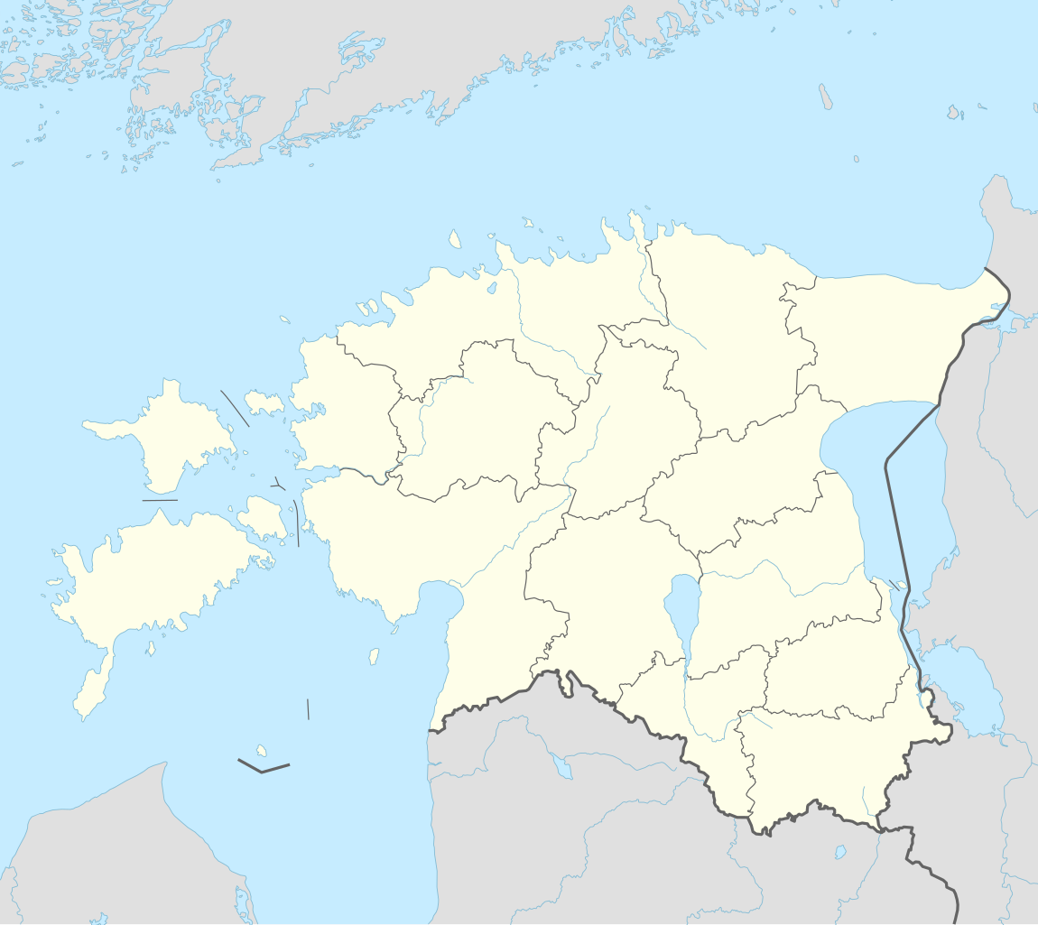
Deutsch: Positionskarte von Estland
English: Location map of Estonia
|
||||||||||||
| Fecha | |||||||||||||
| Fuente |
Trabajo propio utilizando:
|
||||||||||||
| Autor | NordNordWest | ||||||||||||
| Otras versiones |
|
||||||||||||
_location_map.svg)

|
Este mapa se ha hecho o mejorado en el Kartenwerkstatt (taller cartográfico) alemán. También puede proponer mapas para mejorar.
|
Licencia
Usage of this file with:

explanatory notes: Legally binding is only the full legalcode. For a free usage I recommend to respect the following licence conditions:
1. Provide my name as given above: NordNordWest,
2. a copy of, or the URI for, the applicable license: https://creativecommons.org/licenses/by-sa/3.0/de/legalcode,
3. the title of the work,
4. in the case of an adaptation, a credit identifying the use of the work in the adaptation.
This license and the rights granted hereunder will terminate automatically upon any breach by you of the terms of this license. Any of the above conditions can be waived if you get permission from the copyright holder. If you have questions or wish differing conditions, please contact me through nnwest or my discussion page ![]() t-online.de
t-online.de
- Eres libre:
- de compartir – de copiar, distribuir y transmitir el trabajo
- de remezclar – de adaptar el trabajo
- Bajo las siguientes condiciones:
- atribución – Debes otorgar el crédito correspondiente, proporcionar un enlace a la licencia e indicar si realizaste algún cambio. Puedes hacerlo de cualquier manera razonable pero no de manera que sugiera que el licenciante te respalda a ti o al uso que hagas del trabajo.
- compartir igual – En caso de mezclar, transformar o modificar este trabajo, deberás distribuir el trabajo resultante bajo la misma licencia o una compatible como el original.

Historial del archivo
Haz clic sobre una fecha y hora para ver el archivo tal como apareció en ese momento.
| Fecha y hora | Miniatura | Dimensiones | Usuario | Comentario | |
|---|---|---|---|---|---|
| actual | 18:27 26 mar 2022 | | 1666 × 1484 (349 kB) | NordNordWest | upd |
| 17:17 8 nov 2017 |  | 1666 × 1391 (346 kB) | NordNordWest | corr | |
| 14:05 5 nov 2017 |  | 1666 × 1391 (346 kB) | NordNordWest | upd | |
| 17:19 24 sep 2014 |  | 1666 × 1391 (348 kB) | NordNordWest | == {{int:filedesc}} == {{Information |Description= {{de|1=Positionskarte von Estland}} {{en|1=Location map of Estonia}} {{Location map series N |stretching=180 |top=60.4 |bottom=57.2 |left=21.5 |right=28.4 }} |Source={{Own using}} * United States Natio... |
Usos del archivo
Hay más de 100 páginas que enlazan con este archivo.
La lista siguiente sólo muestra las primeras 100 páginas que enlazan con este archivo. También puedes consultar la lista completa.
- Aavere
- Abadía de Padise
- Aeropuerto de Kuressaare
- Aeropuerto de Kärdla
- Aeropuerto de Pärnu
- Aeropuerto de Tallin
- Aeropuerto de Tartu
- Alavere
- Alexela Korvpalli Meistriliiga
- Anija (localidad)
- Arava (Anija)
- Aruküla
- Elva (Estonia)
- Haanja
- Haapsalu
- Haljala
- Härmakosu
- Iglesia de San Jorge y San Adalberto
- Iglesia de la Inmaculada Concepción (Tartu)
- Iglesia de la Madre de Dios de las Tres Manos (Tallin)
- Iglesia del Espíritu Santo (Valga)
- Ilmandu
- Ivángorod
- Järvakandi
- Jõgeva
- Jõhvi
- Kaunissaare
- Kehra
- Keila-Joa
- Kihmla
- Kiviõli
- Kumna
- Kunda
- Kuressaare
- Kuusemäe
- Kärdla
- Kütke
- Lagedi
- Lehtmetsa
- Liikva
- Lilli (Anija)
- Linnakse
- Loksa
- Looküla
- Lükati
- Maade
- Maardu
- Matsi
- Meistriliiga 2014
- Meistriliiga 2015
- Meistriliiga 2016
- Meistriliiga 2017
- Muraste
- Mustjõe
- Mustvee
- Narva
- Narva-Jõesuu
- Otepää
- Paasiku
- Paide
- Palacio Kadriorg
- Parila
- Partsaare
- Pikva
- Pillapalu
- Plaza de la Libertad (Tallin)
- Pärnu
- Põltsamaa
- Põlva
- Püssi
- Rae (condado de Harju)
- Raekoja plats
- Raespa
- Rakvere
- Rapla
- Rasivere
- Raudoja
- Rooküla
- Salumetsa
- Salumäe
- Saue
- Saulepi
- Sillamäe
- Sindi
- Soodla
- Sõrve
- Tallin
- Tapa (Estonia)
- Tartu
- Tõrva
- Uuearu
- Valga (Estonia)
- Valjala
- Vetla
- Vikipalu
- Viljandi
- Voose
- Võru
- Ülejõe
- Plantilla:Mapa de localización de Estonia
Ver más enlaces a este archivo.
Uso global del archivo
Las wikis siguientes utilizan este archivo:
- Uso en als.wikipedia.org
- Uso en an.wikipedia.org
- Uso en ar.wikipedia.org
- Uso en ast.wikipedia.org
- Uso en azb.wikipedia.org
- Uso en az.wikipedia.org
Ver más uso global de este archivo.