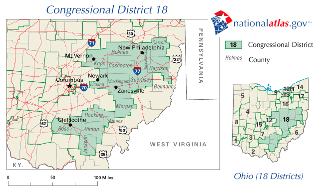
Archivo:OH18 109.PNG
No se dispone de una resolución más alta.
OH18_109.PNG (635 × 379 píxeles; tamaño de archivo: 41 kB; tipo MIME: image/png)
| Descripción | OH18 109 | |||
| Fuente | National Atlas of the United States | |||
| Autor | National Atlas of the United States | |||
| Permiso (Reutilización de este archivo) |
|
Historial del archivo
Haz clic sobre una fecha y hora para ver el archivo tal como apareció en ese momento.
| Fecha y hora | Miniatura | Dimensiones | Usuario | Comentario | |
|---|---|---|---|---|---|
| actual | 17:17 1 mar 2006 | | 635 × 379 (41 kB) | Quadell | {{PD-USGov-Atlas}} Category:Maps of Ohio Category:United States congressional district maps |
Usos del archivo
La siguiente página usa este archivo:
Uso global del archivo
Las wikis siguientes utilizan este archivo:
- Uso en en.wikipedia.org