Archivo:Portage Wisconsin aerial view.jpg
Tamaño de esta previsualización: 800 × 480 píxeles. Otras resoluciones: 320 × 192 píxeles · 1024 × 614 píxeles · 1500 × 900 píxeles.
Ver la imagen en su resolución original (1500 × 900 píxeles; tamaño de archivo: 644 kB; tipo MIME: image/jpeg)
| Descripción |
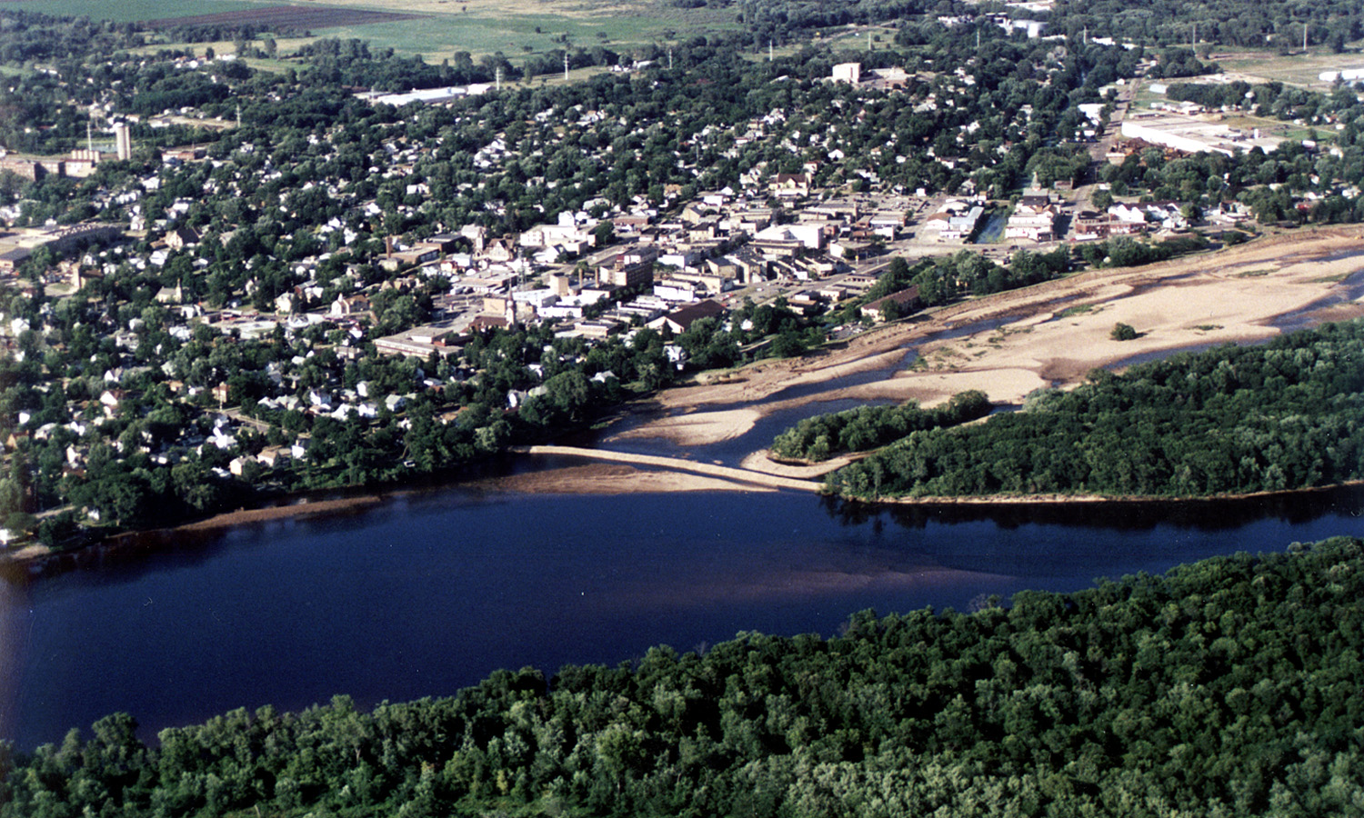
English: Aerial view of the City of Portage, Wisconsin, USA on the Wisconsin River. Upstream end of project showing cofferdam protecting river borrow area. Portage canal leading to the Fox River, visible on the right. |
|||
| Fecha | ||||
| Fuente |
U.S. Army Corps of Engineers Digital Visual Library Image page Image description page Digital Visual Library home page |
|||
| Autor | Tom Crump, U.S. Army Corps of Engineers | |||
| Permiso (Reutilización de este archivo) |
|
|||
| Localización | Portage, Wisconsin, USA |
| Posición de la cámara | | Ubicación de esta y otras imágenes en: OpenStreetMap |
|---|
Historial del archivo
Haz clic sobre una fecha y hora para ver el archivo tal como apareció en ese momento.
| Fecha y hora | Miniatura | Dimensiones | Usuario | Comentario | |
|---|---|---|---|---|---|
| actual | 03:15 7 abr 2007 | | 1500 × 900 (644 kB) | DanMS | {{Information | Description = {{en|Aerial view of the City of Portage, Wisconsin, USA on the Wisconsin River. Upstream end of project showing cofferdam protecting river borrow area. Portage canal leading to the Fox River, visible on the right.}} | |
Usos del archivo
La siguiente página usa este archivo:
Uso global del archivo
Las wikis siguientes utilizan este archivo:
- Uso en de.wikipedia.org
- Uso en en.wikipedia.org
- Uso en eo.wikipedia.org
- Uso en fr.wikipedia.org
- Uso en mt.wikipedia.org
- Uso en simple.wikipedia.org