Archivo:Cheshire outline map with UK.png
No se dispone de una resolución más alta.
Cheshire_outline_map_with_UK.png (722 × 552 píxeles; tamaño de archivo: 412 kB; tipo MIME: image/png)
Resumen
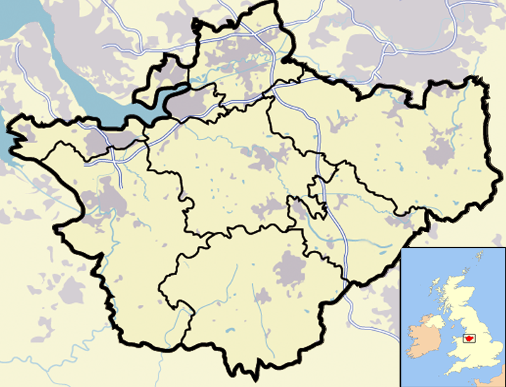
| Descripción | Map of en:Cheshire and surrounding area, with micromap of the British Isles for context. Urban areas are shown in grey, water bodies in light-blue, motorways in blue with white stripe and county and borough boundaries in black. |
| Fecha | 29 de marzo de 2007 (fecha original de carga) |
| Fuente | Transferido desde en.wikipedia a Commons. |
| Autor | Jhamez84 de Wikipedia en inglés |
| Otras versiones |
.png) (for boundaries expected to come into effect for 2009). (for boundaries expected to come into effect for 2009). |
Licencia
| Este trabajo ha sido liberado al dominio público por su autor, Jhamez84 de Wikipedia en inglés. Esto aplica para todo el mundo. En algunos países esto puede no ser legalmente factible; si ello ocurriese: Jhamez84 otorga a cualquier persona el derecho de usar este trabajo para cualquier propósito, sin ningún tipo de condición, a menos que éstas sean requeridas por la ley. |
Registro original de carga
Aquí se muestra la página de descripción original. Los siguientes nombres de usuario se refieren a en.wikipedia.
- 2007-04-11 23:50 Jhamez84 722×552×8 (421996 bytes) correcting positioning of some urban areas (they were too east-northeasterly)
- 2007-04-11 17:14 Jhamez84 722×552×8 (420187 bytes) fixing issues in and around the [[M6 motorway]] (moving it to the west per discussion)
- 2007-04-11 00:38 Jhamez84 722×552×8 (438177 bytes) Much more detailed (and thus hopefully more accurate) version of the [[Cheshire]] map.
- 2007-03-29 23:48 Jhamez84 800×558×8 (446798 bytes) Map of [[Cheshire]] and surrounding area, with micromap of the British Isles for context. Urban areas are shown in grey, water bodies in light-blue, motorways in blue with white stripe and county and borough boundaries in black.
Historial del archivo
Haz clic sobre una fecha y hora para ver el archivo tal como apareció en ese momento.
| Fecha y hora | Miniatura | Dimensiones | Usuario | Comentario | |
|---|---|---|---|---|---|
| actual | 13:02 23 jun 2008 | | 722 × 552 (412 kB) | Jza84 | removed erroneous urban area |
| 20:55 29 jun 2007 |  | 722 × 552 (412 kB) | Pit-yacker | {{Information |Description=Map of en:Cheshire and surrounding area, with micromap of the British Isles for context. Urban areas are shown in grey, water bodies in light-blue, motorways in blue with white stripe and county and borough boundaries in bl |
Usos del archivo
No hay páginas que enlacen a este archivo.
Uso global del archivo
Las wikis siguientes utilizan este archivo:
- Uso en ar.wikipedia.org
- Uso en ceb.wikipedia.org
- Uso en en.wikipedia.org
- Uso en eo.wikipedia.org
- Uso en ga.wikipedia.org
- Uso en ml.wikipedia.org
- Uso en pt.wikipedia.org
- Uso en ro.wikipedia.org
- Uso en sv.wikipedia.org
- Uso en tt.wikipedia.org
- Uso en uk.wikipedia.org
- Uso en www.wikidata.org