Archivo:Map of Kentucky highlighting Clay County.svg

Tamaño de esta previsualización PNG del archivo SVG: 800 × 345 píxeles. Otras resoluciones: 320 × 138 píxeles · 640 × 276 píxeles · 1024 × 441 píxeles · 1280 × 551 píxeles · 2560 × 1103 píxeles · 6770 × 2916 píxeles.
Ver la imagen en su resolución original ((Imagen SVG, nominalmente 6770 × 2916 pixels, tamaño de archivo: 127 kB))
Resumen
| Descripción |
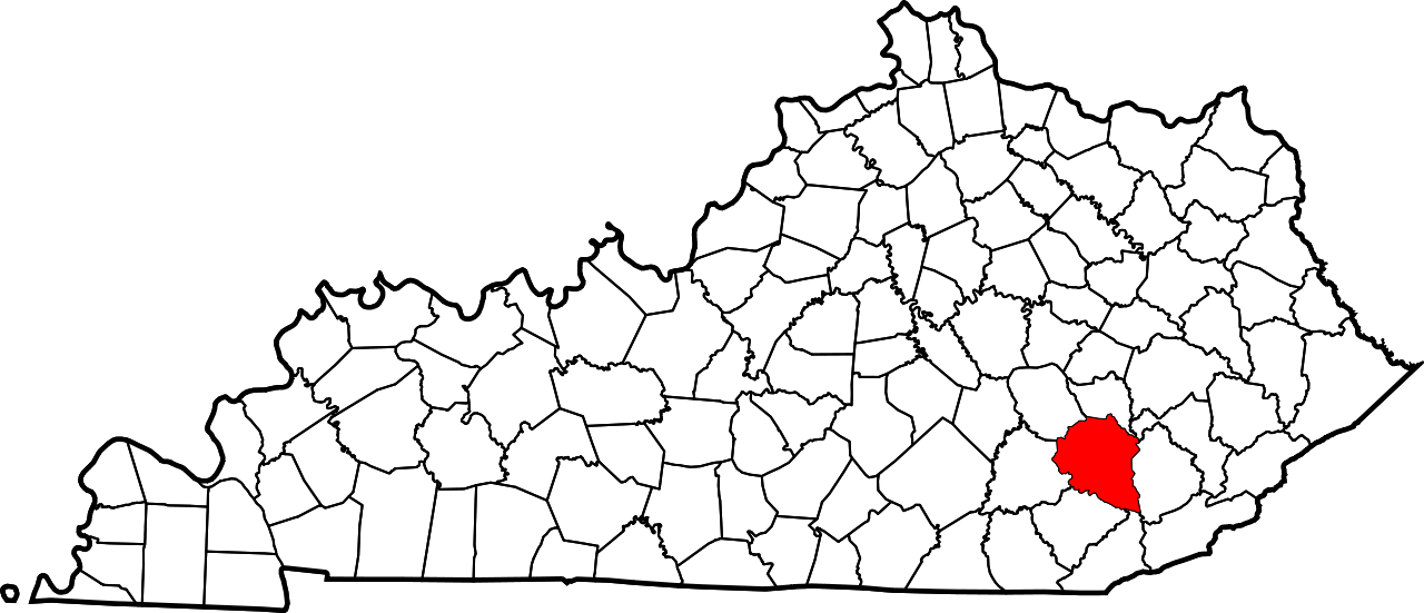
English: This is a locator map showing Clay County in Kentucky. For more information, see Commons:United States county locator maps. |
| Fecha | |
| Fuente |
Trabajo propio: English: The maps use data from nationalatlas.gov, specifically countyp020.tar.gz on the Raw Data Download page. The maps also use state outline data from statesp020.tar.gz. The Florida maps use hydrogm020.tar.gz to display Lake Okeechobee. |
| Autor | David Benbennick |
Licencia
| Yo, el titular de los derechos de autor de esta obra, lo libero al dominio público. Esto aplica en todo el mundo. En algunos países esto puede no ser legalmente factible; si ello ocurriese: Concedo a cualquier persona el derecho de usar este trabajo para cualquier propósito, sin ningún tipo de condición al menos que éstas sean requeridas por la ley. |
Historial del archivo
Haz clic sobre una fecha y hora para ver el archivo tal como apareció en ese momento.
| Fecha y hora | Miniatura | Dimensiones | Usuario | Comentario | |
|---|---|---|---|---|---|
| actual | 12:21 12 feb 2006 | | 6770 × 2916 (127 kB) | David Benbennick | {{subst:User:Dbenbenn/clm|county=Clay County|state=Kentucky}} |
Usos del archivo
Las siguientes páginas usan este archivo:
Uso global del archivo
Las wikis siguientes utilizan este archivo:
- Uso en ar.wikipedia.org
- Uso en bg.wikipedia.org
- Uso en bpy.wikipedia.org
- Uso en cdo.wikipedia.org
- Uso en ceb.wikipedia.org
- Uso en ce.wikipedia.org
- Uso en cs.wikipedia.org
- Uso en cy.wikipedia.org
- Uso en de.wikipedia.org
- Uso en en.wikipedia.org
- Clay County, Kentucky
- Manchester, Kentucky
- South Fork Kentucky River
- Oneida, Kentucky
- List of counties in Kentucky
- Eastern Kentucky Coalfield
- Red Bird River
- Template:Clay County, Kentucky
- User:Nyttend/County templates/KY/1
- National Register of Historic Places listings in Clay County, Kentucky
- Category:Populated places in Clay County, Kentucky
- Laurel Creek (Kentucky)
- Ogle, Kentucky
- Sibert, Kentucky
- Garrard, Kentucky
- Horse Creek (Kentucky)
- Sextons Creek, Kentucky
- Littleton, Kentucky
- Peabody, Kentucky
- Big Creek, Kentucky
- Fall Rock, Kentucky
- Goose Creek (Oneida, Kentucky)
- Template:ClayCountyKY-geo-stub
- Bear Creek (Red Bird River tributary)
- Little Goose Creek (Kentucky)
- Collins Creek (Kentucky)
- Martins Creek (Kentucky)
- Beech Creek (Clay County, Kentucky)
- Uso en et.wikipedia.org
- Uso en eu.wikipedia.org
- Uso en fa.wikipedia.org
Ver más uso global de este archivo.